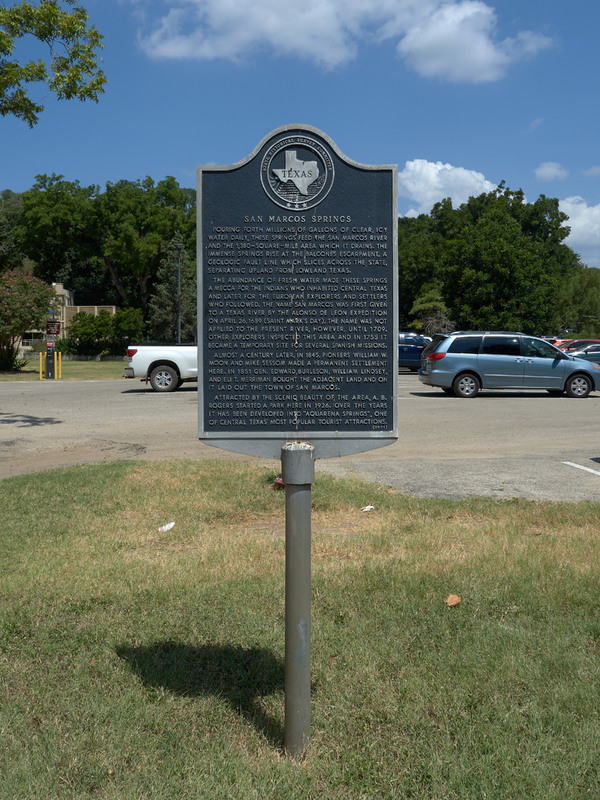
Marker for San Marcos Springs
Item
- Title
- Marker for San Marcos Springs
- Description
-
This marker is found in the parking lot of the Meadows Center for Water and the Environment, on the campus of Texas State University.
Marker text:
San Marcos Springs - Pouring forth millions of gallons of clear, icy water daily, these springs feed the san Marcos River and the 1,380-square-mile area which it drains. The immense springs rise at the Balcones Escarpment, a geologic fault line which slices across the state, separating upland from lowland Texas. The abundance of fresh water made these springs a mecca for the Indians who inhabited Central Texas and later for the European explorers and settlers who followed. The name San Marcos was first given to a Texas River by the Alonso de Leon Expedition on April 26, 1689 (Saint Mark's Day). The name was not applied to the present river, however, until 1709. Other explorers inspected this area and in 1755 it became a temporary site for several Spanish missions. Almost a century later, in 1845, pioneers William W. Moon and Mike Sessom made a permanent settlement here. In 1851 Gen. Edward Burleson, william Lindsey, and Eli t. Merriman bought the adjacent land and on it laid out the town of San Marcos. Attracted by the scenic beauty of the area, A. B. Rogers started a park here in 1926. Over the years it has been developed into "Aquarena Springs," one of Central Texas' most popular tourist attractions. - Contributor
- Digital and Web Services at the Alkek Library
- Creator
- Jeremy D. Moore
- Date
- 08-04-15
- Format
- JPG
- Language
- English
- Publisher
- Texas State University
- Rights
- This image is presented for research and educational purposes only, and may not be distributed or re-published without permission from the University Archives, Texas State University.
- Subject
- History of Spring Lake, San Marcos, Texas.
- Original Format
- State Historical Marker
- Site pages
- Spanish Colonial Era/Mexican Texas
Position: 1928 (23 views)

